
Junction Bridge
In 1818, the the Quapaw people signed a treaty relinquishing 30 million acres in present-day Arkansas. In 1824, the Quapaw would be forced to cede their remaining million-acre reservation.
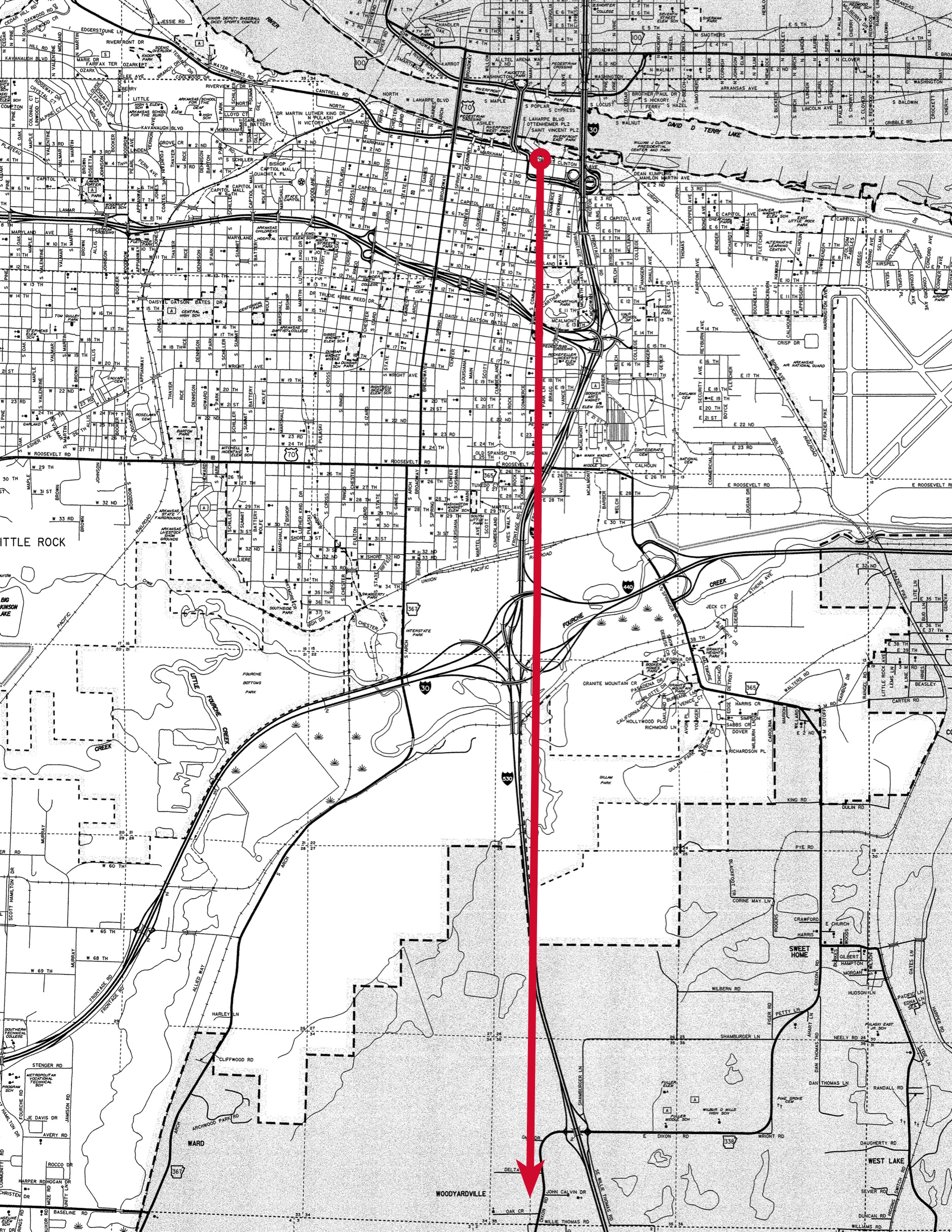
The Quapaw Line
The line, which still appears on USGS maps as "Old Indian Treaty Boundary," begins at the Arkansas River in downtown Little Rock.
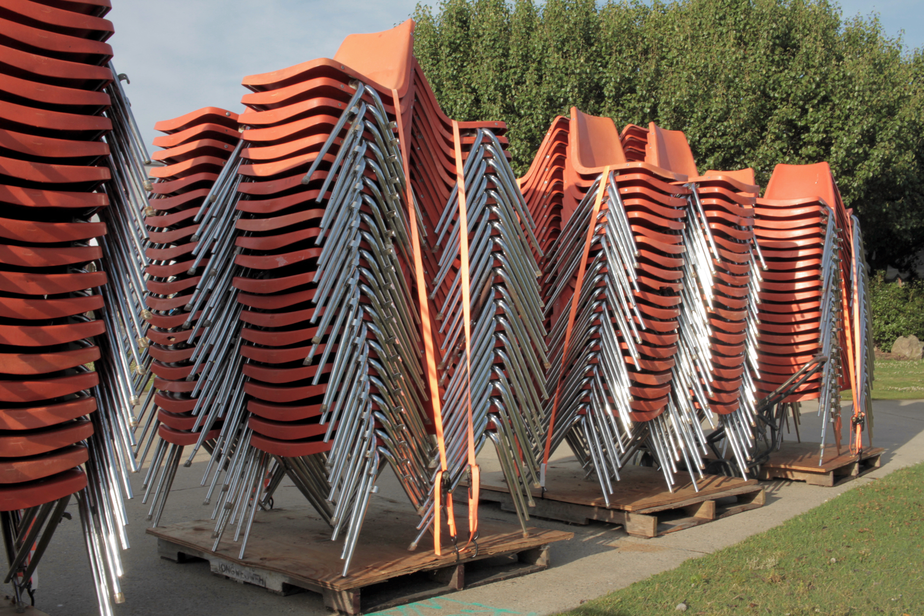
Chairs, River Market
In June 2017, I walked the Quapaw Line south through Little Rock.
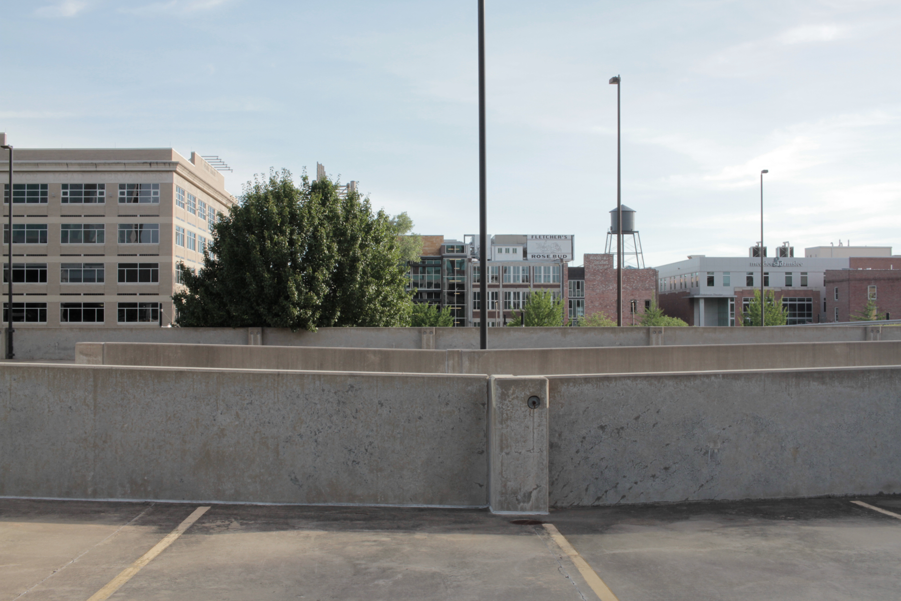
Parking Deck, E. 3rd Street
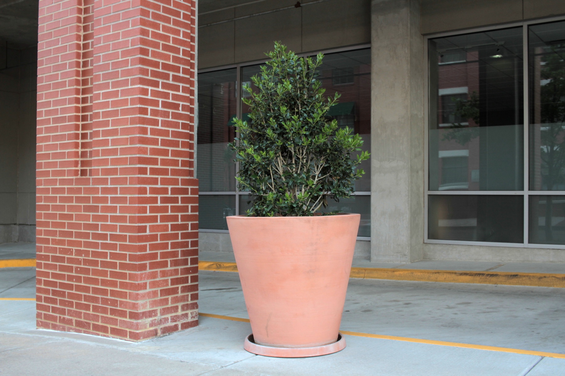
Holly Bush, Rock Street
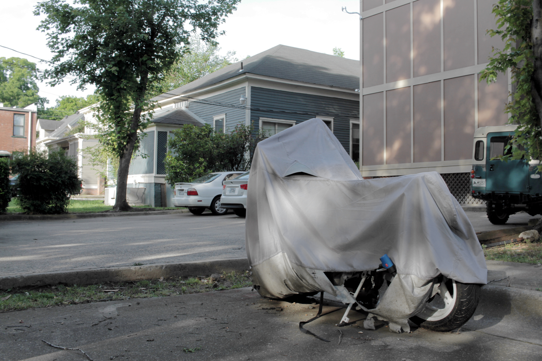
Covered Motorcycle, Alley Near Trapnall Hall
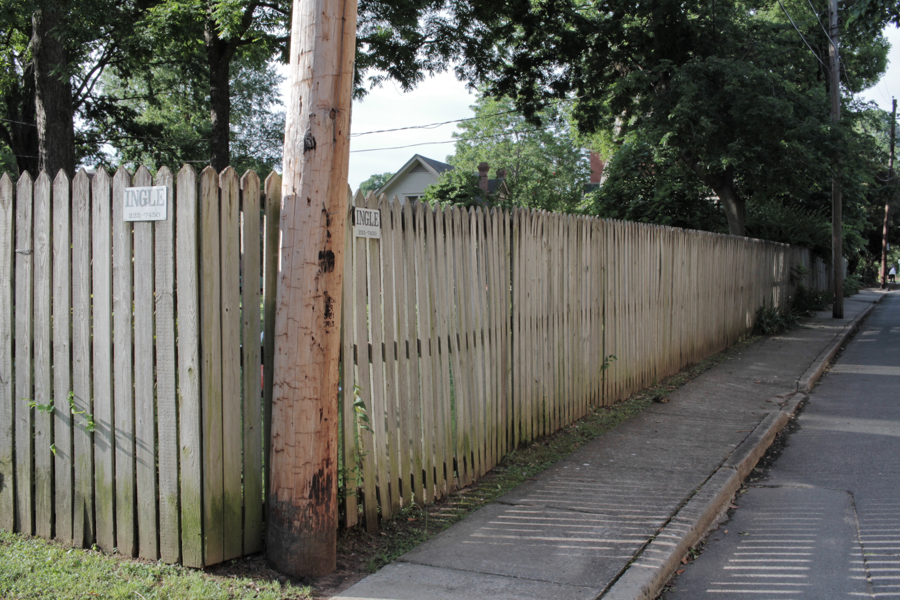
Fence, Commerce Street
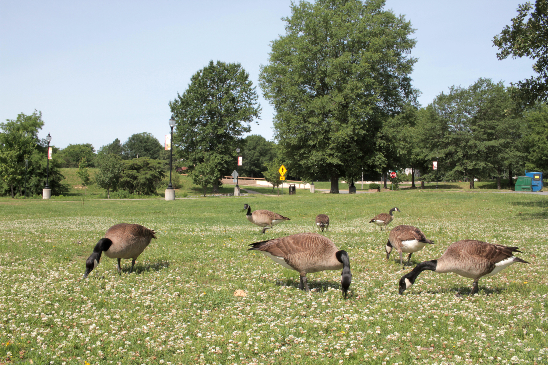
Geese, MacArthur Park
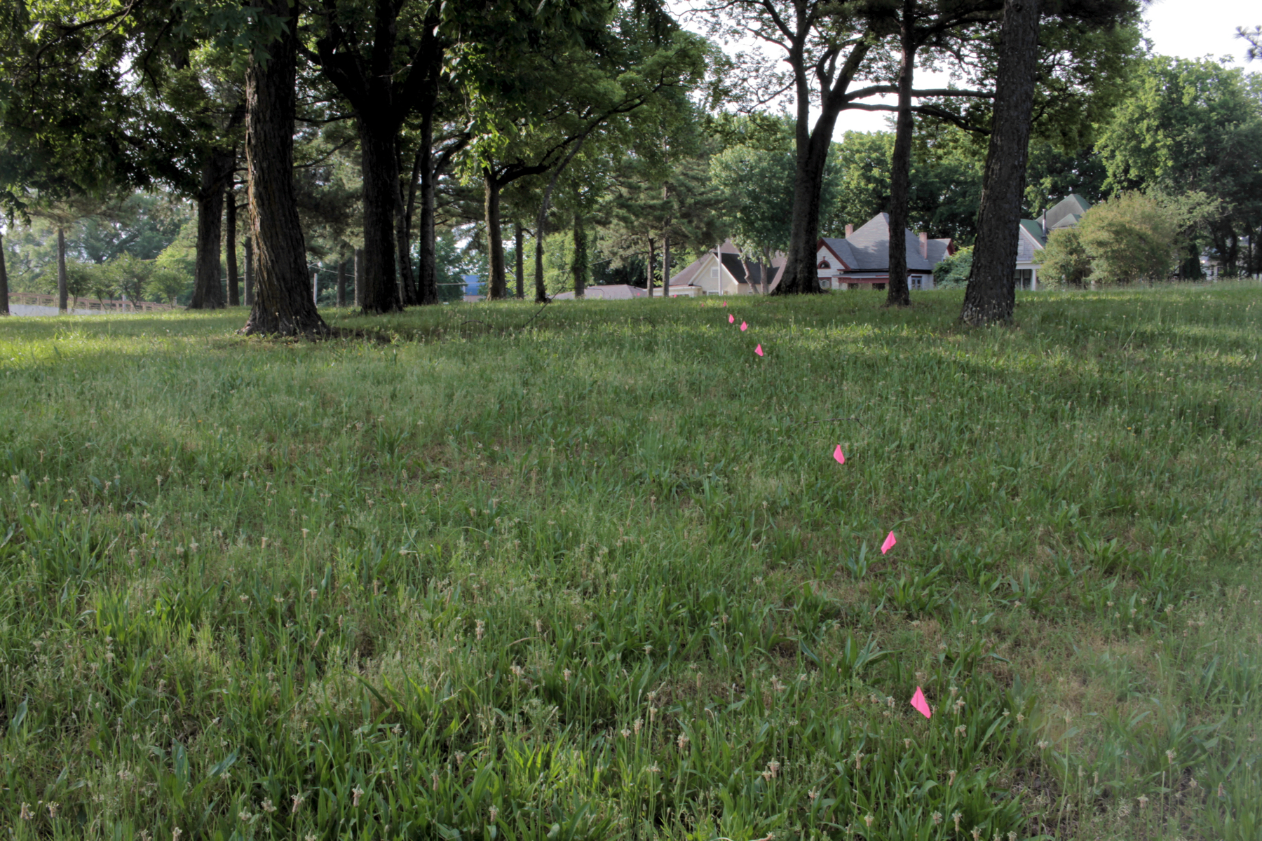
Flags, Park Lane
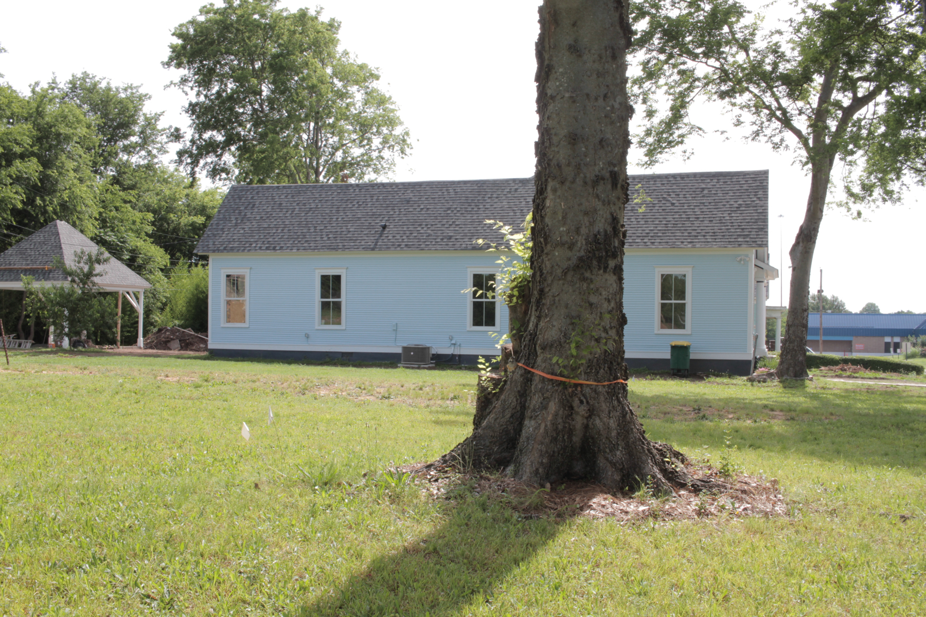
Tree to Be Removed, Park Lane
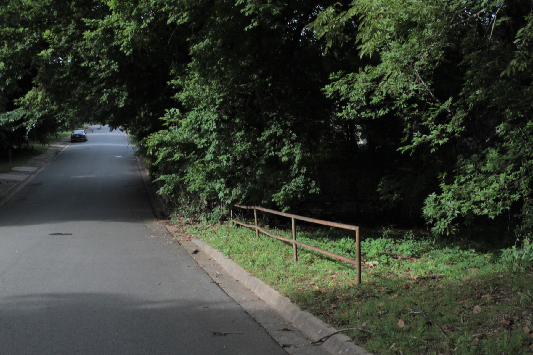
Railing, Park Lane
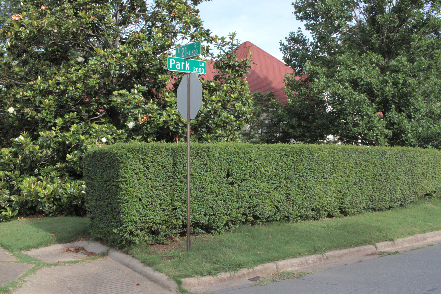
Hedge, Park Lane and 21st Street
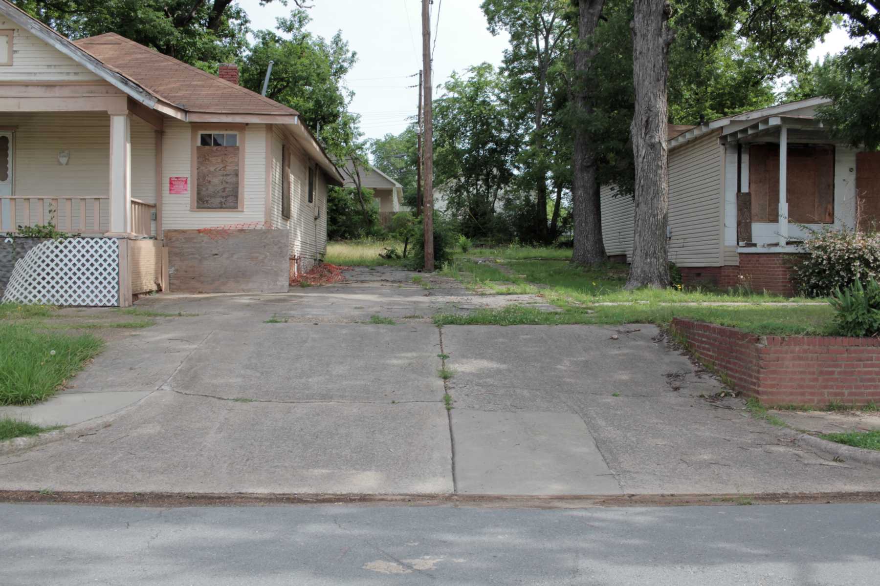
Boarded-Up Houses, E. 23rd Street
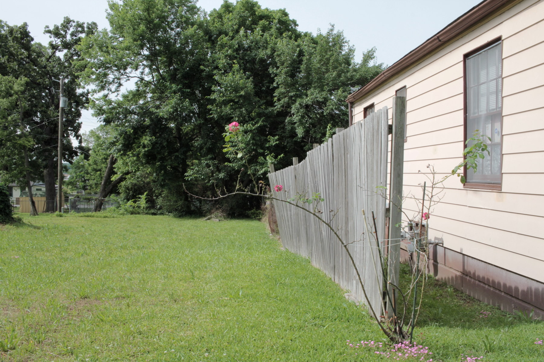
Rose, E. 23rd Street

Bus Stop, E. Roosevelt Road
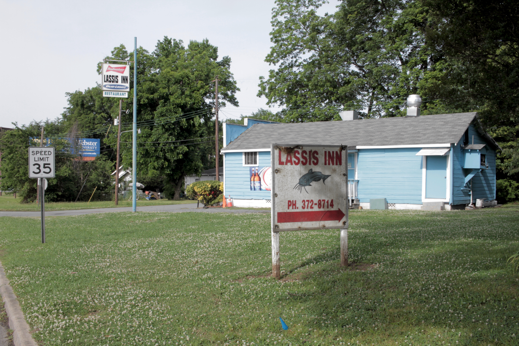
Lassis Inn, E. 27th Street
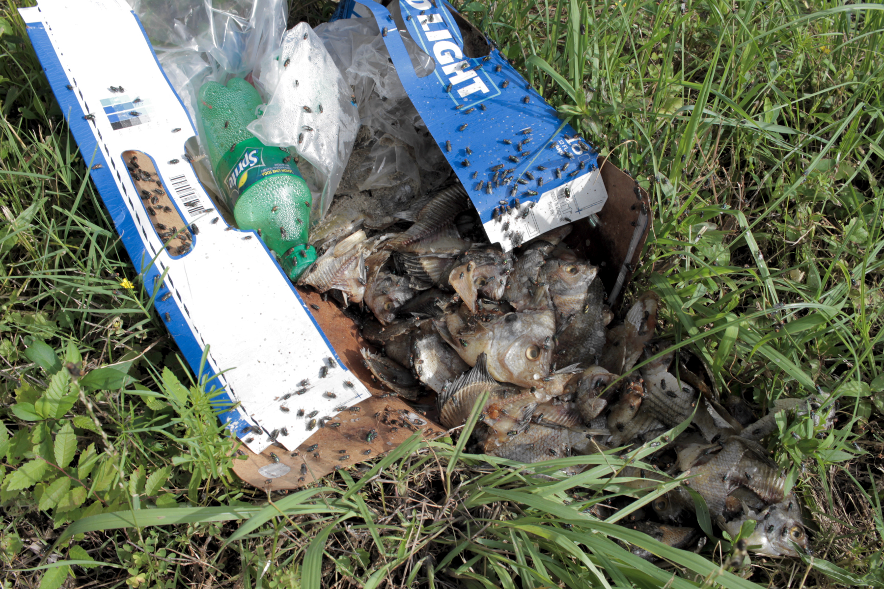
Fish, I-30 Frontage Road
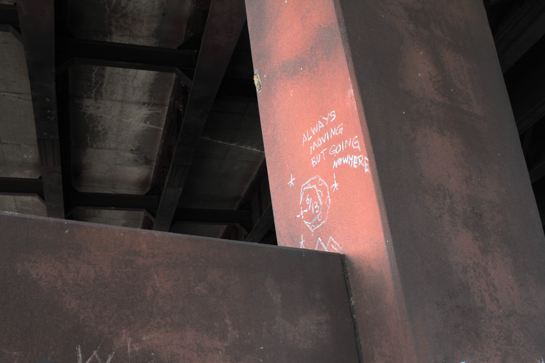
Graffiti, I-30 Overpass
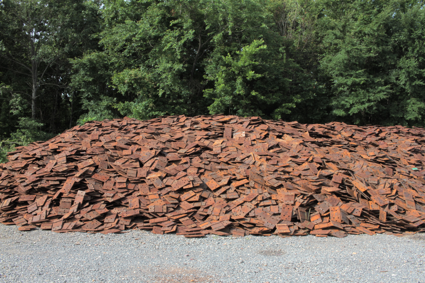
Railroad Yard
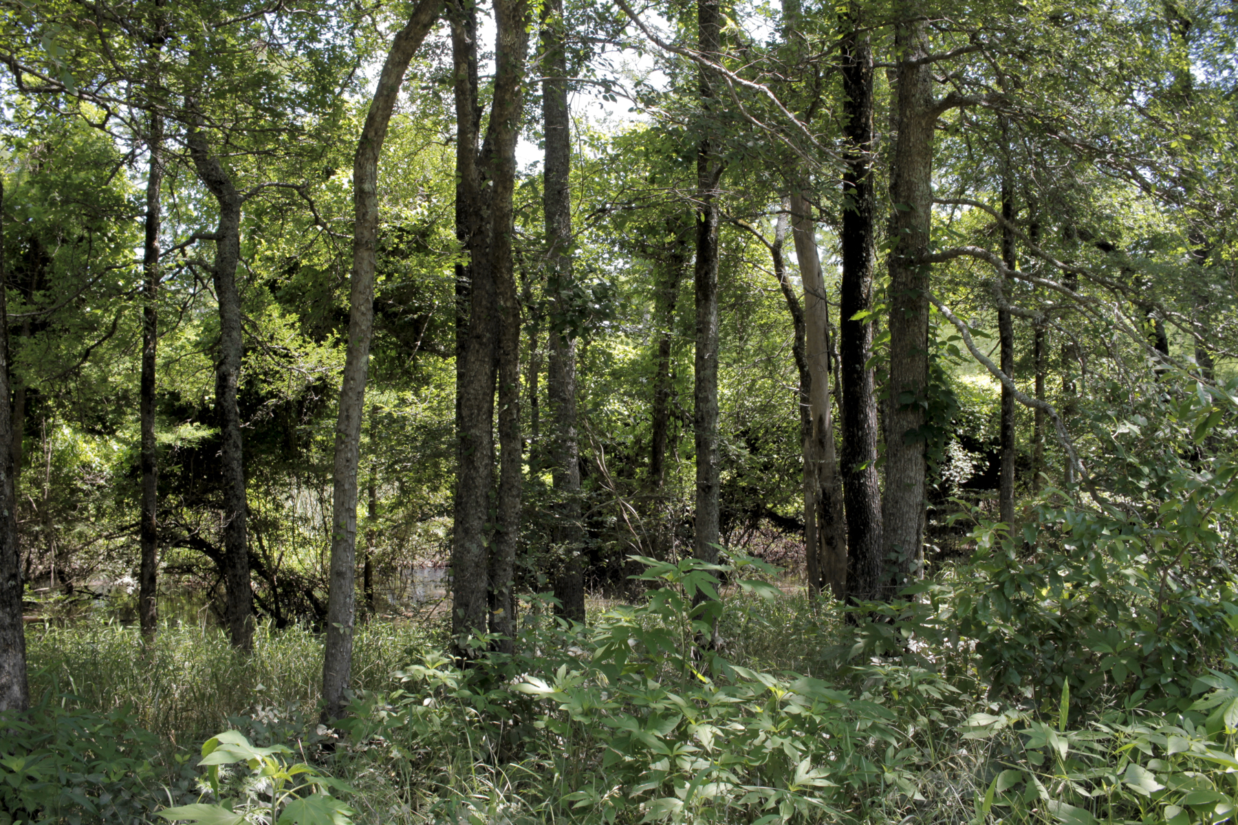
Gillam Park
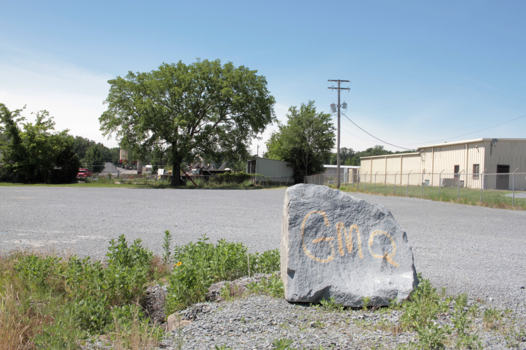
Granite Mountain Quarry, GMQ Road